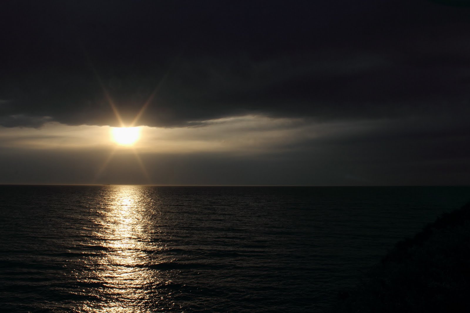
I am going back to our trip to the Grampians for this post.
On the afternoon of the second day we strolled back to the car from the Aboriginal rock shelter. Deb parked herself in the shade and I limbered up for what I thought was another walk.
The walk we had just done was rated by the park service as “easy” grade.
Not far away in terms of distance was a spot called Hollow Mountain and parks rated the walk as “medium” grade.
Deb thought better of it and stayed with her knitting.
So I set off on my own.
The park guide said to follow the arrows to the top. I paused about quarter of the way up to take a shot looking up at Hollow Mountain

"Hmmm" I thought "I wonder where the path goes?"
At the same place I took a shot of the next mountain across.

And the first of these yellow arrows.

As you can see it has already turned from a “path” to a clamber up solid rock slopes.
But I thought “they said medium and this doesn’t look too bad. And the peak doesn’t look too high".
Although when I zoomed in it looked a little more daunting.

Up the next section I followed two young men who slipped past me while I took photos (and caught my breath).
As I got closer to the mountain I wondered more and more about where the “path” went.
My next stop was at the base of the cliffs in the first picture.
I took another breather and had a chat to the two young men who were now preparing to climb directly up the cliff.

Now with humans in the frame you really get a feel for the scale of the place.
From talking to the guys my destination lay well above the top of the climb they were about to make.
They told me the trail zigzagged around to the left of this cliff.
For the first time I felt a little daunted. Heights are most definitely not my thing.
But I said to myself, “one stage at a time and at any point you feel unsure you just turn back”
I am well and truly old enough to not have to prove anything to anyone!
Climbing the next stage I had to pause to get this shot of this gorgeous cliff face against the deep blue sky

(ok and catch my breath again)
Spinning 180 degrees from there I found my next arrow.
There it is pointing up this rock face

To the base of that little tree is about four times my height.
The pale line zigzagging up the middle is worn by boots. You can see someone has cut some notches in the rock to assist as foot holds.
The light on the right is the cliff the young guys were climbing.
Did I say I don’t like heights?
Next stop at the base of the tree. I paused to enjoy the amazing view
The rocky mountain in the distance is where the
Gulgurn Manja rock shelter sits.

Hang on where does that arrow point?
Oh that is the one marking the way back down.
I turn back to the rock face.
This slot is where the climb continues.

Again if I am continuing I have to climb several times my height . It looks a bit of a squeeze but it isn’t as scary because here I have solid rock on both sides (more about that next post)
 I paused to snap this little fellow,
  s/he is a species I don’t know and I haven’t taken the time to look him/her up.
 Half a mile into the forest you round a corner and see this.
 The remains of a steam engine.
  And nearby tramway trucks for carrying timber to the sawmill that once stood here.
 You wouldn’t think it but all this forest is regrowth;
  a hundred years ago the whole area was clear felled.
 and around the corner the reason we had come.
 The stream divides into three channels which tumble as a triple fall.
 Well the piccies say it all.